

Spokane Wildfire 2026: 640 Homes Destroyed, Thousands Evacuated
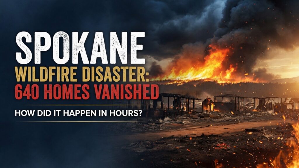
As fire crews battle three separate blazes across Spokane County, families are asking a harder question than how the fire started: how did an entire American neighborhood disappear before anyone could stop it?
It took less than a day to erase a neighborhood. By Sunday morning, the Indian Trail area of northwest Spokane was gone.
The Old Trails Fire began Saturday afternoon near Airway Heights, driven by dry conditions and gusting wind. Within hours it had jumped the Spokane River, climbed the bluffs, and torn through residential streets that had stood for decades. This matters right now because Washington’s governor has declared a state of emergency, the National Guard has been activated for wildfire response for the first time since 2021, and thousands of residents still do not know if they have a home to return to.
Support Independent Local Journalism
TheTownHall.News is a non-profit reader-supported journalism. Just $5 helps us hire local reporters, investigate important issues, and hold public officials accountable across Alameda County. If you believe our community deserves strong, independent journalism, please consider donating $5 today to support our work.What Actually Happened in Spokane County?
Three fires ignited within hours of each other Saturday: the Old Trails Fire, the Fairview Fire near Mead, and the Autumn Lane Fire near Nine Mile Falls. Together they became known as the Spokane Area Fires. Old Trails did the most damage, burning roughly 3,500 to 4,000 acres on its own and accounting for the majority of destroyed structures. Combined, the fires had scorched more than 5,300 acres by Sunday morning.
Officials with California Interagency Incident Management Team 7, which took command of the response Saturday night, said more than 600 structures were destroyed or damaged across the three fires. One local outlet later put the Old Trails Fire’s toll alone at 640 structures [local news reporting, KREM/Spokesman-Review]. Fire officials cautioned it will take up to a week to determine how many were primary residences versus garages, sheds, and outbuildings.
Who Had to Leave, and How Fast?
Thousands of residents were placed under Level 3 “Go Now” evacuation orders, the highest classification, meaning conditions were considered life-threatening. Evacuation zones expanded through Saturday night as the fire moved faster than officials could map it.
Among the facilities evacuated were the Mann-Grandstaff VA Medical Center, a water reclamation plant, and a waste-to-energy facility. VA staff evacuated all patients Saturday afternoon; 27 of them remained under staff care at area shelters as of Sunday, with the campus still closed. The American Red Cross opened shelters at Spokane Falls Community College and the Spokane Convention Center, where roughly 409 families spent Saturday night.

Would you have made it out in time? That is the question residents of Indian Trail are still asking themselves. One homeowner, who had lived in the neighborhood for more than two decades, returned Sunday to find nothing but a foundation and a neighbor’s swimming pool still standing amid the ash.
More than 40,000 customers lost power as utility infrastructure burned or was shut off preemptively for safety [utility/local news reporting]. The scale of the outage compounded an already chaotic evacuation, leaving some residents without functioning garage doors, well pumps, or cell service at the moment they needed them most.
Why Did This Fire Move So Fast?
Washington state forester George Geissler described the conditions driving the Old Trails Fire as extreme: low humidity, dry vegetation, and sustained winds that pushed flames across the Spokane River and into residential blocks with almost no warning. The National Weather Service issued a rare Fire Warning for the county, a designation reserved for active fires burning in inhabited areas under emergency evacuation orders.
“It’s gone, all gone,” one resident said, standing in front of what used to be his home. That single sentence captures what thousands of Spokane County families are grappling with this week.
Governor Bob Ferguson activated 110 members of the Washington National Guard on Friday, the first such activation for a wildfire response in the state since 2021. The Washington State Fire Marshal’s Office mobilized 13 additional task forces, and Ferguson issued a statewide burn ban running through September 30.
Support Independent Local Journalism
TheTownHall.News is a non-profit reader-supported journalism. Just $5 helps us hire local reporters, investigate important issues, and hold public officials accountable across Alameda County. If you believe our community deserves strong, independent journalism, please consider donating $5 today to support our work.Is Anyone Confirmed Dead or Missing?
As of the latest official updates, no deaths have been confirmed. But local fire officials have been careful not to call that the final word. The county fire chief said flames swept through some areas so quickly that authorities are still working to confirm whether anyone was injured or is unaccounted for, acknowledging there is potential for loss of life once search teams can safely enter burned zones.
That uncertainty is its own kind of hardship. Families who evacuated without their neighbors know some homes were empty and others may not have been. Search and assessment teams are expected to move through the burn area in the coming days.
640. That is the number of structures believed lost so far. The question no resident in Indian Trail wants to ask out loud: is that number final, or will it climb once crews reach every street?
What Happens Next for Displaced Families?
Recovery in a fire this size does not happen on a single timeline. Insurance assessments, utility restoration, air quality monitoring, and debris removal will likely stretch over months, not days. Spokane Public Schools has not yet confirmed the status of buildings in the evacuation zone, and officials say full damage assessments could take a week or longer.
For families now living out of shelters or with relatives, the immediate priorities are basic: medication, documents, and a place to sleep. Longer term, the community faces the same questions every fire-affected town eventually confronts: how to rebuild, how to pay for it, and how to prevent the next fire from moving this fast again.
What Do Critics of the Evacuation Response Actually Believe?
Some residents and commentators have questioned whether warning systems and evacuation timelines gave people enough notice, given how quickly the fire crossed the river and reached residential streets. It is a fair question to raise when a fire outruns an evacuation zone map in a matter of hours.
The available reporting suggests officials issued Level 3 evacuation orders as the fire’s path became clear and expanded those zones repeatedly through the night as conditions changed. Emergency management officials have said the speed and unpredictability of wind-driven fire behavior made real-time mapping extremely difficult. Whether faster action was possible will likely be examined once the immediate response winds down, but on the information available now, there is no confirmed evidence that warnings were delayed beyond what the fire’s speed allowed.
A Neighborhood Reduced to Foundations
Photographs from Indian Trail show entire blocks with nothing left but chimneys, driveways, and scorched vehicles. Firefighters, some from out of state, continued working through the weekend with no containment established as of Sunday morning on the Old Trails Fire.
The scale of this event, both in acreage and structures lost, is already being described by local officials as among the most destructive in Washington state history. Final numbers will take time to confirm, but the human toll is not in question: thousands of people spent Saturday night wondering if they would have a home on Sunday.
So What Is the Real Question Here?
It is not simply how a wildfire started. It is how fast a fire can outrun a neighborhood’s ability to respond, and what that means for every community living near dry brush and high wind corridors this fire season. Spokane’s disaster is a reminder that preparedness, defensible space, and fast personal action can matter as much as any official warning system.
The lingering question for anyone watching from outside Spokane is simple: if this happened in your neighborhood tonight, would you be ready?
Still have questions about the recovery effort? Stay informed with our ongoing coverage. Think your neighbors need to see this? Share the article. Want to help? Local shelters and the American Red Cross are accepting donations and supplies for displaced families, and residents in fire-prone areas should review their county’s evacuation zone map today, before the next warning comes.