

Nepal-China Flood: What Really Caused This Disaster?
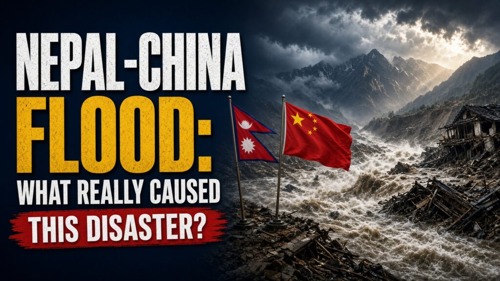
A glacier collapse high in the Himalayas triggered one of the deadliest cross-border floods in recent memory. Here’s what is confirmed, what is still unfolding, and what the region has been warned about for years.
A mountain gave way, and a border region is still counting the dead. On the morning of August 26, 2026, a mass of ice and rock broke loose near Langtang Lirung, a peak in Nepal’s Langtang National Park, and plunged into the valley below.
The timing matters because this was not a surprise event in a region with no history of it. Nepal and China’s shared Himalayan border sits above thousands of glacial lakes, and researchers have warned for years that the warning systems meant to protect downstream communities were not keeping pace with the risk. Now that warning has become a body count.
Support Independent Local Journalism
TheTownHall.News is a non-profit reader-supported journalism. Just $5 helps us hire local reporters, investigate important issues, and hold public officials accountable across Alameda County. If you believe our community deserves strong, independent journalism, please consider donating $5 today to support our work.What Actually Happened on the Mountain?
The disaster began with a glacier collapse, not an earthquake, despite early confusion. Seismologists recorded a magnitude 5.2 to 5.7 event centered near Langtang Lirung, and the U.S. Geological Survey’s analysis of the seismic waves showed they were consistent with a glacier collapse rather than tectonic activity [USGS data via Wikipedia].
The resulting avalanche and landslide sent a surge of ice, rock, and water down the Lhende Khola river valley and into the Trishuli River system. Chinese officials said the cascade took just six to seven minutes to reach Gyirong Port, the major border crossing between the two countries, before continuing roughly 72 kilometers through Nepal’s Rasuwa, Nuwakot, Dhading, Gorkha, Tanahun, Nawalparasi, and Chitwan districts [Chinese officials, CCTV press conference].
Was This a Glacial Lake Outburst Flood?
The technical cause is still being pieced together, and it matters because it shapes what future warning systems need to detect. Nepal’s regional climate monitoring body, the International Centre for Integrated Mountain Development, said satellite imagery pointed to the draining of a glacial lake north of Nepal’s Langtang Himal range as part of the chain of events [ICIMOD satellite analysis]. That would make this event at least partly a glacial lake outburst flood, or GLOF — the sudden release of water trapped behind ice or rock.
A glacier can sit stable for decades and then fail in minutes — and no one downstream gets to vote on when that happens. The scale of what followed shows why that distinction is more than academic.

How Bad Is the Damage?
The numbers are still moving, but the scope is already staggering. Nepal has confirmed at least 734 deaths with 2,498 people still listed as missing, while China’s Tibet Autonomous Region has reported 16 deaths and 546 missing [Nepal and Tibet regional authorities, current as of this writing]. The flood completely destroyed the Gyirong Port complex, the primary trade and tourism gateway between the two countries, and carried some victims’ bodies as far as 240 kilometers downstream into India [regional disaster reporting].
More than 500 foreign nationals from over 30 countries remain among the missing in Nepal, with the largest numbers from India, the United States, Ukraine, and Malaysia, according to the Nepal Tourism Board [Nepal Tourism Board]. China’s foreign ministry has said close to 100 Chinese citizens are also missing on the Nepal side of the border [Chinese foreign ministry].
2,498. That is the number of people still unaccounted for in Nepal alone — the question rescue teams are racing against the clock to answer.
What Is Being Done to Rescue Survivors?
Nepal has deployed more than 5,000 army and police personnel, along with helicopters, drones, and search dogs, though high river levels, damaged roads, and thick mud have slowed access to some of the hardest-hit areas [regional disaster reporting]. Nepal’s army says more than 2,500 people have been rescued by air, including 216 foreign nationals, with roughly 200 more pulled out by ground teams.
Across the border, deep sediment has delayed Chinese rescue crews trying to reach the disaster zone, and as of Sunday no additional survivors had been found on the Tibetan side [CNN reporting]. Chinese Premier Li Qiang visited the disaster area to oversee emergency operations, and officials said Sunday that a barrier lake formed by an earlier landslide had begun overflowing but remained stable, with a “relatively low” chance of a full breach [Chinese regional government press conference].
Support Independent Local Journalism
TheTownHall.News is a non-profit reader-supported journalism. Just $5 helps us hire local reporters, investigate important issues, and hold public officials accountable across Alameda County. If you believe our community deserves strong, independent journalism, please consider donating $5 today to support our work.Why Wasn’t This Region Better Prepared?
This is where the disaster connects to a pattern that predates it by years. Nepal’s roughly 1,400-kilometer border with China runs alongside more than 3,600 mapped glacial lakes, with 47 identified as being at particular risk of a sudden outburst — 25 of them inside Tibet [ICIMOD, UNDP mapping]. Formal real-time data-sharing on lake conditions between China and Nepal has largely not existed, a gap analysts and Nepali lawmakers flagged publicly after a smaller flood struck this same river system in July 2025 [prior ICIMOD and Reuters reporting].
Nepal has known about dozens of high-risk glacial lakes on its border for years — the warning system to track them in real time still doesn’t fully exist. That is not a criticism invented after the fact. Nepali opposition lawmakers raised it directly with their own government following last year’s smaller flood on the same border.
Is a disaster really unforeseeable if the region has been warned about the exact mechanism for years?
What Do Officials Say in Their Own Defense?
It’s worth engaging fairly with why this gap persists rather than assuming simple negligence. Officials in both countries point out that monitoring thousands of remote, high-altitude glacial lakes across some of the most difficult terrain on Earth is a genuinely hard technical and logistical problem, not a matter of political will alone. Satellite coverage, funding for permanent monitoring stations, and the sheer number of at-risk lakes all limit what any single agency can track in real time.
That defense has real merit — this is not a simple bureaucratic failure to fix with a memo. But it does not fully answer why a cross-border data-sharing mechanism between two governments with decades of diplomatic and infrastructure cooperation still doesn’t exist for a hazard both sides have separately studied and separately warned about. Difficulty explains a slow start. It does not explain why the gap identified after the 2025 flood remained open in 2026.
Why Does This Matter Beyond Nepal and China?
The Hindu Kush Himalayan region spans Afghanistan, Bangladesh, Bhutan, China, India, Myanmar, Nepal, and Pakistan, and researchers describe glacial lake outburst events as increasing at an unprecedented pace across that entire mountain system [ICIMOD]. Nepal’s glaciers alone have lost close to one-third of their ice volume over roughly three decades [United Nations, 2023 assessment]. This is not a one-time event in an isolated valley — it is a preview of a recurring hazard across a mountain range shared by nearly two billion people downstream.
Key Questions This Story Raises:
- What specifically failed to detect or warn communities about the glacier collapse before it reached populated areas?
- Will China and Nepal finally build the real-time glacial lake monitoring system that analysts have called for since at least 2023?
- How many of the other 46 high-risk glacial lakes identified along this border remain unmonitored today?
So was this disaster truly unforeseeable, or the predictable result of a known risk that outpaced the systems meant to track it? The glacier collapse itself could not have been stopped. Whether the next one catches downstream communities equally unprepared is still an open question. The real question isn’t whether nature is dangerous in the Himalayas — it’s whether the systems meant to warn people living beneath it will finally catch up before the next mountain gives way.
Still following this story as it develops? Stay informed — subscribe for daily coverage of international news and disaster accountability. Think others need to understand what triggered this? Share this article. Want to help directly? Consider donating to established international disaster relief organizations operating in Nepal, and verify any charity’s registration before giving.